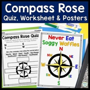
Students will enjoy practicing cardinal and intermediate directions with these Compass Rose Posters, Cut-and-Paste Compass Rose Worksheet printable and coordinating Compass Rose Quiz. Students must also create an original phrase to remember the directions, i.e. Never Eat Soggy Waffles!
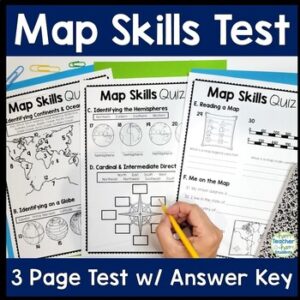
This easy-to-read Map Skills Quiz will assess students’ understanding of Oceans & Continents, Latitude & Longitude, Hemispheres, Cardinal & Intermediate Directions, Me on the Map, Equator & Prime Meridian, Map Key & Map Scale. An answer key is included for easy grading. You may choose to use this test as a Map Skills worksheet for students that need extra practice.
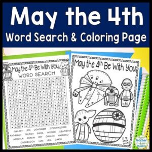
This resource is a print & go May 4th activity. Word search is included with 2 different titles: May the 4th Be With You & Star Wars. FREE Star Wars coloring page included as well.
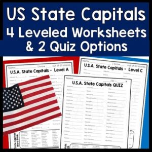
4 Leveled & Differentiated State Capitals Worksheets and 2 US State Capitals Quiz Options with Answer Key. Students can complete each worksheet in order or assign different sheets for different students based on ability. What a great way to easily differentiate! Two quiz options are available to best suit students’ needs.
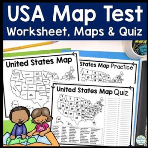
Easy-to-read US Map Quiz and Practice Sheet will help students learn to correctly identify and locate all 50 states. This product also includes a labeled USA Map in full & half-page design and blank USA map for practice. Learning how to correctly identify all 50 states on a map of the United States is a critical skill for students of all ages.
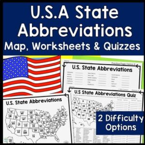
Two Practice Pages & Two State Abbreviations Quiz/Test difficulty options are provided to best suit your students’ needs. One version requires students to identify the state on a numbered map and also know the abbreviation. The other version only requires students to know the abbreviation for a listed state. Choose the version that best suits your students!
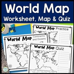
Easy-to-read World Map Quiz requires students to locate 7 Continents and 5 Oceans. This resource also includes a world map printable for kids to practice learning the map of the world. Students must label continents and oceans: 7 Continents (Asia, Africa, North America, South America, Antarctica, Australia & Europe) and 5 Oceans (Atlantic, Pacific, Indian, Arctic & Southern).